Company profile

3D CSEM surveys and data have an important place in the exploration workflow, working with seismic, petrophysical, and geologic data to develop a geological model as close to reality as possible. While seismic data is highly effective in providing operators with structural and stratigraphic information (trap and reservoir potential), EM data is strongly sensitive to hydrocarbon saturation and volume of the reservoir.
Our teams
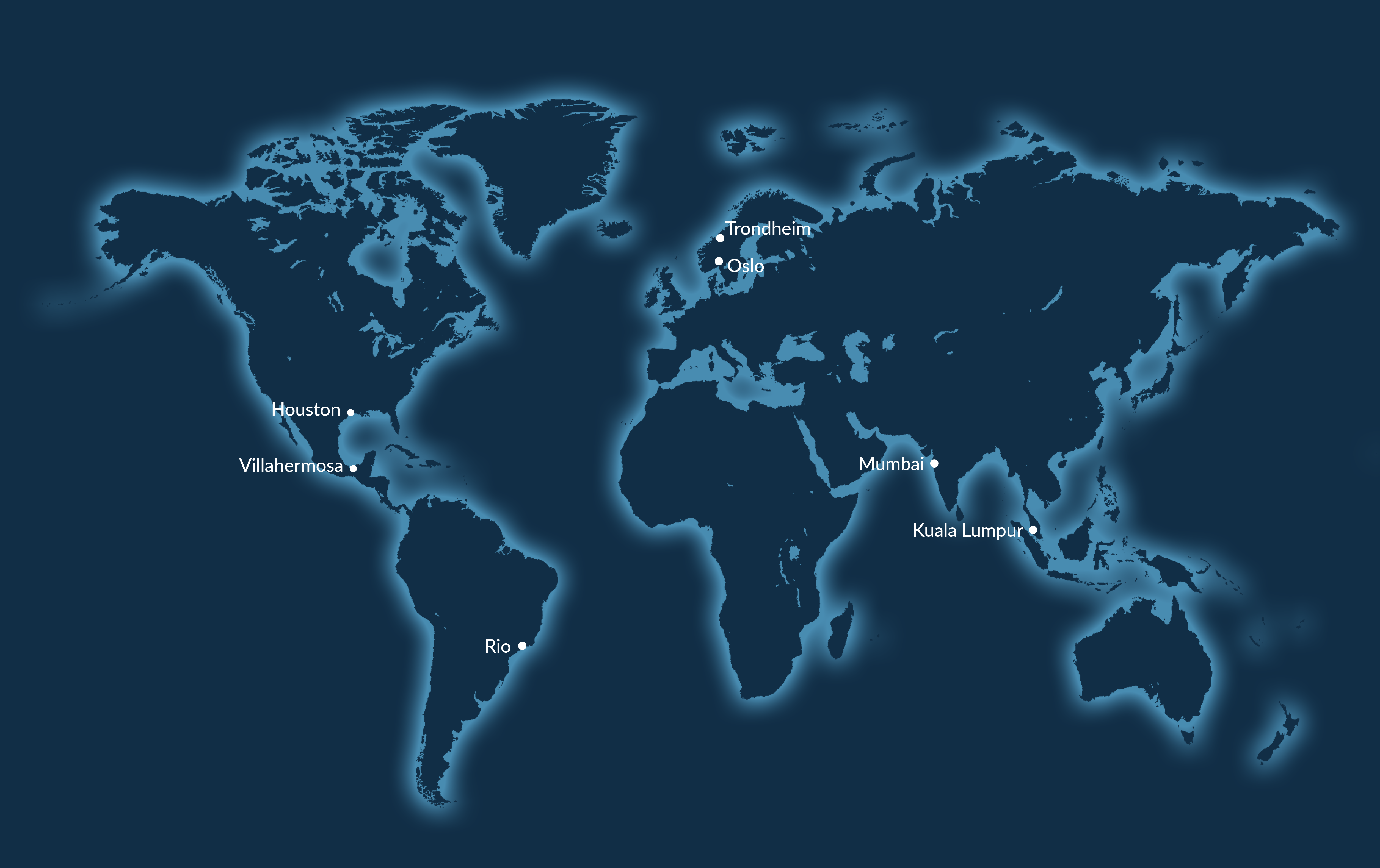
Our highly motivated workforce includes survey personnel, geoscientists, physicists and software engineers. These people are based in Asia, Europe and the Americas, and on our 3D EM surveying vessels.
Our research and development team works independently and through joint-industry projects to continually improve our surveying equipment and modelling and processing capabilities. This work helps us to maintain our position as a provider of the highest quality data and the best processing and modelling techniques.
Our experience
EMGS has performed more than 950 surveys in frontier and mature basins across the world, from the Arctic to Australia, in water depths ranging from around 30 to 3600 m.