Structual imaging
In areas with presence of salt or basalt it can be difficult to image the subsurface with seismic.
Salt and basalt pose a strong acoustic impedance contrast and have a significantly higher velocity than sedimentary rocks. Further, there can be strong inhomogeneities within the salt/basalt. That makes it difficult to reconstruct a structural image of the subsurface below the top salt/basalt interface. Determining the thickness and structure of sediment packages covered by a layer of salt or basalt is very challenging using seismic data alone.
On the other hand, salt and basalt typically pose a significant resistivity contrast with surrounding sediments, which can be imaged using electromagnetic methods like CSEM and MT. The EM signal is less attenuated in highly resistive material and can therefore penetrate deep into the earth and reveal resistivity variations below the salt/basalt, i.e. due to more conductive sediments below.
Integrating CSEM and MT data together with seismic in such settings can improve the interpretation and understanding of the complex geology.
Better delineation of salt structures and basalt thickness can also update the seismic velocity model and provide improved depth migration imaging. Surveys using this technology have been carried out in Norway, UK, Gulf of Mexico, Red Sea, and India.
Mapping Salt diapirs
The size and shape of salt overhangs and feeders can have significant impact on the prospectivity of an area, but are difficult to image using seismic data alone. CSEM and MT inversion has successfully been used to map the size, shape and extend of salt bodies.
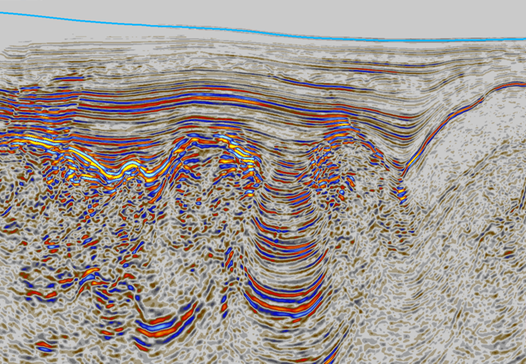
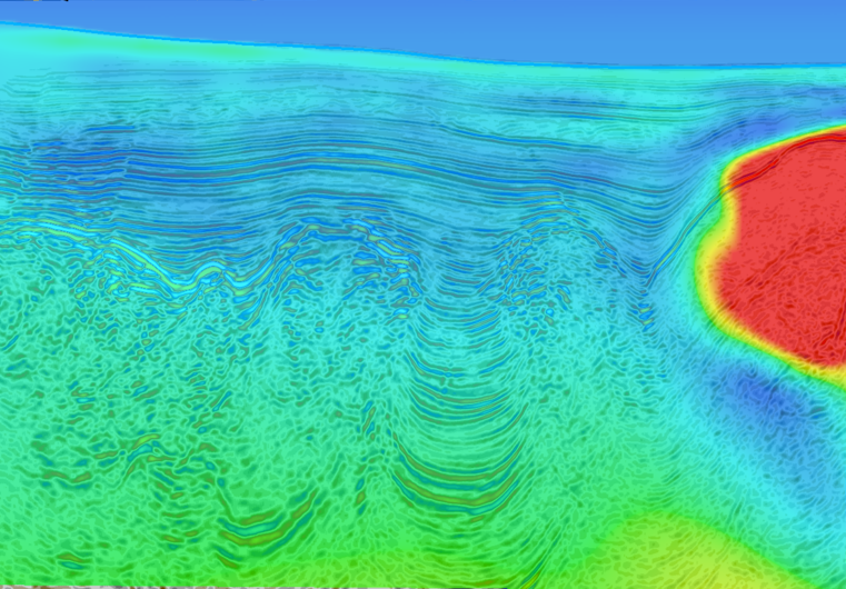
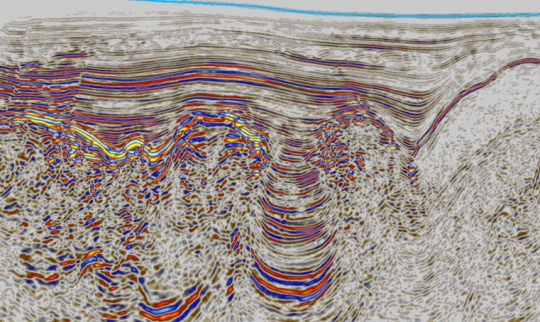
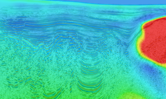
Are these salt diapirs or shale diapirs? Slide image to the right and see which are resisitive and therefore likely to be salt structures.
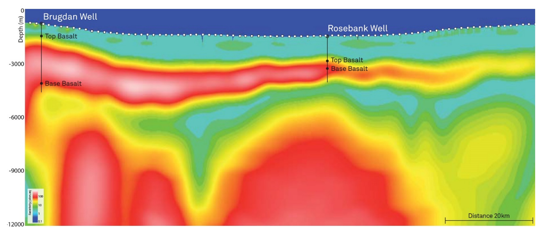
Mapping basalt and below basalt
By using both controlled source electromagnetic (CSEM) and magnetotelluric (MT) data in conjunction, it is possible to reveal structural information below a several kilometer-thick basalt layer. Joint CSEM-MT inversion improves subsurface resistivity imaging by utilizing the different sensitivity patterns from both data sets. The structural information in the resulting resistivity images can be used to guide seismic interpretation, and also improve seismic processing,
velocity model building and subsequently enhance depth imaging resulting in improved interpretation.