CSEM data acquisition
Acquiring CSEM data allows for mapping and reconstruction of the resistivity distribution in the subsurface. The source signal sets up an electromagnetic field which is highly sensitive to horizontal, thin resistors. This is exactly the resistivity expression of a hydrocarbon charged reservoir.
CSEM data can be acquired in both 2D and 3D survey geometries. 2D layouts are typically applied in frontier basins and frequently acquired as long regional lines, often along existing 2D seismic lines. Resulting resistivity 2D sections can de-risk specific prospects and provide regional understanding. To gain higher confidence in identified resistivity anomalies, regional acquisition can be followed up with 3D CSEM.
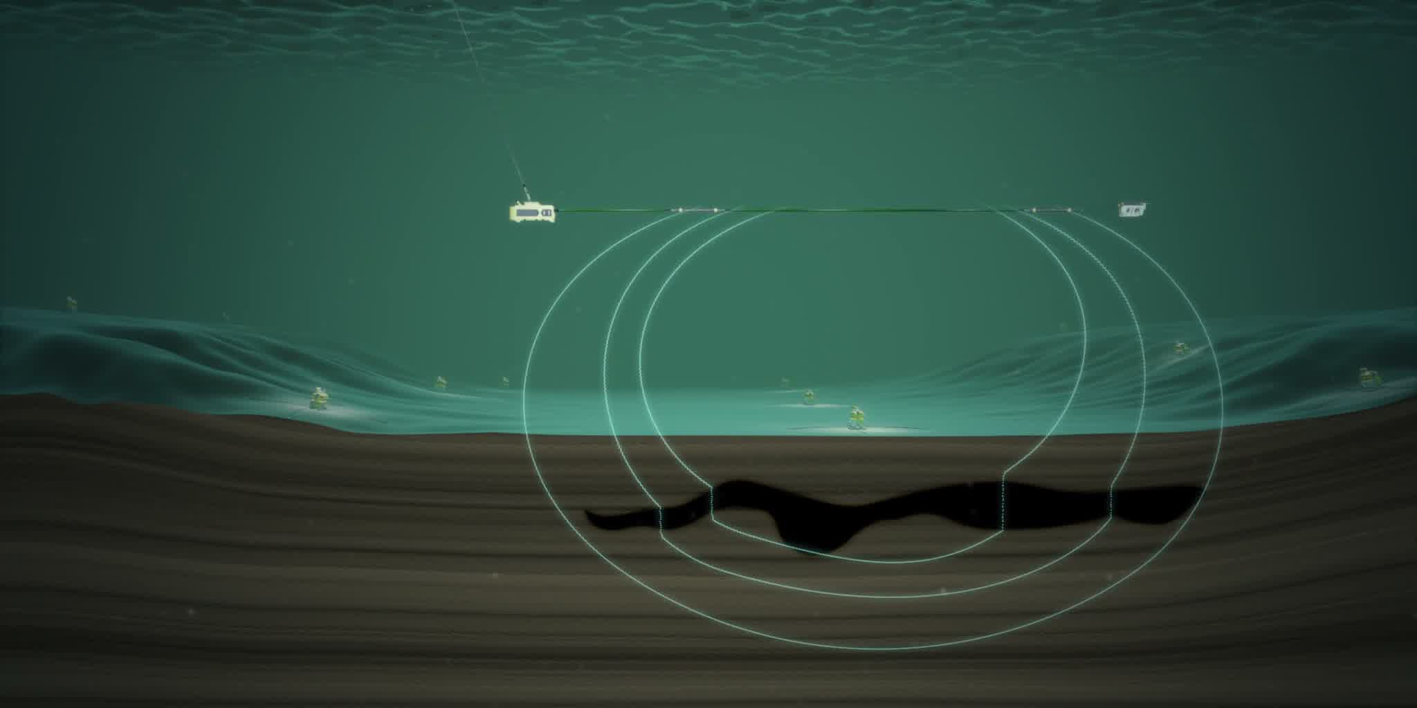
In most cases we acquire 3D full-azimuth CSEM data. Here a receiver grid is laid out on the seabed before the source is towed over the grid. This allows us to register signals for various azimuth angles with high data coverage. Such an acquisition provides improved depth and spatial resolution of the resistivity distribution in the subsurface and provides higher confidence in anomaly interpretation.